
Walking a West Bloomfield Township Street Directory
Use the address as the starting point, not a name. Normalize the number, street word, direction, and suffix first. Then move from the township assessment record to the county parcel map, then to the recorded document trail. The assessment record supplies the owner, mailing address, situs address, parcel identifier, and legal-description clues. Property Gateway confirms that the map point and boundary belong to the same parcel. Only after those checks should a researcher look for dated voter or historical-directory evidence. A street directory can connect records by address, but it cannot turn each address into a complete list of people.
- Search the exact address in West Bloomfield Township Assessing and save the situs, owner name, mailing address, PIN or Sidwell number, and legal description.
- Enter the PIN or address in Oakland County Property Gateway. Confirm the parcel boundary before treating a nearby map label as the intended property.
- Use the owner name and legal description in the Register of Deeds index to find the latest deed, then read its grantor, grantee, recording date, document number, and description.
- For a public voter-record question, use the individual Michigan Voter Information Center only for its intended self-service route. A defined, redacted request to the Clerk is the documented alternative for releasable registration data.
- For older address evidence, check a Polk or Bresser street section and compare the entry date with maps, plats, and the deed chain.
Note: Keep a source date beside every name because an assessment roll, deed, permit, or historic directory answers a different time-specific question.
West Bloomfield Township Address Layers
Four labels prevent many false matches in West Bloomfield Township. The situs is the physical parcel location. The mailing address is where tax correspondence goes and can belong to a trust, representative, or owner elsewhere. The legal description identifies the lot, block, condominium unit, or metes-and-bounds tract behind a recorded document. The PIN, also called a Sidwell number in older township material, is the parcel key that connects assessment, GIS, deeds, permits, and tax records. Record all four before searching an irregular shoreline road or a shared drive.
- Parcel
- A defined tract in the assessment and mapping system, identified by a PIN and boundary rather than only a street label.
- Situs address
- The physical location used for assessment, GIS, permits, and emergency addressing. It is distinct from an owner mailing address.
- Plat
- A recorded subdivision map that fixes lots, blocks, and streets, useful when a former address does not match the current numbering.
- Criss-cross directory
- A reverse street listing arranged by street and house number, often useful for a dated household lead.
West Bloomfield Township Assessing Fields
The township’s BS&A Online Assessing Search is the first address-keyed stop. Township assessment materials identify owner and parcel information, land values, lot size, acreage, legal descriptions, sales data, and detailed building information. The live form was not fully exposed during research, so the table separates visible or documented fields from results that must be confirmed on the live screen. It is a record of the assessment layer, not proof that every person connected with a property is presently there.
| BS&A field or result | How to use it |
|---|---|
| Owner Name | Try surname variants when an address search identifies the parcel first. |
| Street Number and Street Name | Use together and normalize road suffixes or numbered-street styles. |
| Parcel, PIN, or Sidwell | Carry this stable key into county mapping, tract, tax, and permit research. |
| Address and legal description | Compare physical location with the recorded lot, block, or metes-and-bounds description. |
| Sales and building detail | Use as dated assessment clues, while confirming a transfer in the recorded instrument. |
| Land, lot, acreage, and value | Use to distinguish parcels with similar street labels or shared access. |
The West Bloomfield BS&A landing page shows the township entry point for Assessing Search.
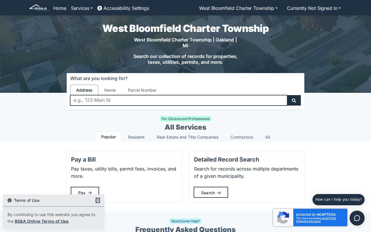
That assessment route anchors a street result to a local parcel record before county mapping or historical material is added.
West Bloomfield Township Street Directory Map Search
Oakland County Property Gateway complements the township roll with a parcel map. It accepts a PIN or property address, requires at least five characters, and documents partial searches such as “1200 S” or “123 S V.” Its published examples also allow wildcard patterns such as “1% Main” and comma-separated PINs. For a street-by-street pass, save the returned PINs, click each matching parcel or map label, and verify the situs and legal description. Do not infer that sequential house numbers or adjacent map points represent the same subdivision, municipality, or household.
The Gateway provides parcel boundaries and map browsing. Oakland County also describes aerial, topographic, floodplain, tax-parcel, and other mapping products, with some reports or maps available for a fee. A map selection is particularly useful on cul-de-sacs, private lanes, lakefront parcels, and condominium areas where a road-facing number may not convey the whole boundary.
The Property Gateway search screen accepts the county’s PIN or property-address route.
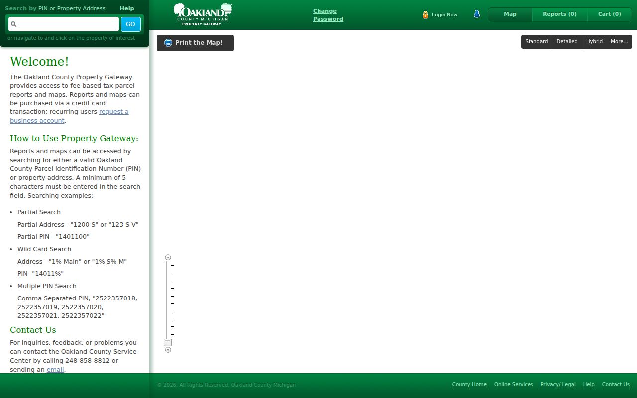
The map result is a parcel check. It should be read with the assessment record and recorded legal description, not as a household roster.
West Bloomfield Township Street Records Sources
Address-keyed records have different strengths. The assessment roll establishes the tax-record relationship. Property Gateway shows the mapped parcel. The Register of Deeds records transfers and related instruments. Building and code files can add dated project or inspection evidence. Redacted voter data has stricter access limits, and historical street volumes supply dated household leads. Together, they create a careful West Bloomfield Township address-record trail without treating any single result as a complete statement about a person.
| Address record | Custodian | Street-level value | Access route |
|---|---|---|---|
| BS&A assessment | West Bloomfield Township Assessing | Owner, mailing and situs addresses, legal description, values, sale and building clues | Assessing Search, phone, or a focused request |
| Property Gateway | Oakland County GIS | PIN or address map, parcel boundary, and available report or map products | Web map, map click, or county mapping contact |
| Deed and tract index | Oakland County Clerk/Register of Deeds | Grantor, grantee, instrument, date, and legal-description trail | Super Index from 1964, then tract or manual research |
| Permit or code file | Township Building or Code Enforcement | Address, lot, PIN, application, inspection, notice, and project timing | Department contact, available portal route, or Michigan FOIA |
| Voter registration record | Township Clerk or election custodian | Public, redacted registration fields where releasable | Individual MVIC route or a defined FOIA request |
| Polk or Bresser street section | Library of Michigan and local libraries | Dated street and house-number listing, often a head-of-household lead | Library shelf, microfilm, catalog, or staff help |
Note: A named owner, applicant, or party should retain that record role in notes rather than being recast as a current household member.
West Bloomfield Township Deeds Along a Street
The Oakland County Property and Land Records route supplies the recorded document behind a transfer. Start with the current assessed owner and PIN, find the latest deed, and copy the grantor, grantee, document type, recording date, reception number or liber-page reference, and legal description. Search the prior grantor as a grantee to locate that earlier acquisition. Repeat the sequence backward, following the legal description when a parcel split, plat, or unit description makes the street number unreliable.
The county reports that Super Index copies date from January 1, 1964. Its Tract Index explains that computer coverage begins in that period, while manual records in the building or Records Retention reach into the 1800s. The counter, tract route, phone or mail assistance is therefore the documented fallback when a West Bloomfield Township address reaches the pre-1964 boundary. Recorded documents can show a title trail, but transfers through a trust, estate, survivorship filing, mortgage discharge, or foreclosure can change the name sequence without a normal sale.
Oakland County’s Property Records Notification program is a separate defensive tool. It offers free alerts for documents matching a precise enrolled name or PIN search, but an alert still requires inspection of the underlying document.
West Bloomfield Township Address Dates
Building and code records add dates that a deed alone may not show. Township permit material uses the address, subdivision, lot, Sidwell or PIN, zoning district, application fee, receipt, and project type. The Building Division lists 248-451-4842, inspections 248-451-4858, and Code Enforcement 248-451-4880. Where a public search is not available, ask the relevant department for the file or send a narrow Michigan FOIA request with the address, PIN, date range, and the particular records sought. A permit applicant or contractor is a record role, not a statement of present residence.
The Michigan Voter Information Center is an individual self-service lookup, not a browse-by-street roster. Its name route requires first name, last name, birth month, birth year, and ZIP. A request for releasable registration records must accept statutory redactions, including protected-program data and sensitive identifiers. West Bloomfield Township’s FOIA summary provides local channels, and Michigan FOIA normally calls for a five-business-day response with a possible ten-business-day extension.
West Bloomfield Township Historical Street Clues
For past street evidence, the Library of Michigan directory guide describes Polk and Bresser formats. Polk street sections arrange addresses alphabetically by street and then house number. Bresser or criss-cross volumes can do the same and may supply a phone number, first-listed notation, arrival or relocation note, and other publisher-specific marks. Exact West Bloomfield Township runs were not located online, so check the ANSWER catalog under West Bloomfield, Oakland County, Bresser Oakland, Polk Pontiac, and nearby place names rather than assuming a volume covers every local street.
Printed volumes, microfilm, and some digital resources have different access paths. The Library of Michigan holds print volumes on 2nd Floor South, some rare material by call number, and microfilm or fiche in the 2nd Floor South Microfilm Room. West Bloomfield Township Public Library links FamilySearch, newspaper finding aids, Michigan library resources, and local material. Historic street evidence should be dated and then compared with a map or plat before it is linked to a modern parcel.
West Bloomfield Township Lake Parcel Quirk
Quirk. West Bloomfield Township has 26 lakes, and that geography changes how a street directory search should be read. A parcel may front a lake, sit behind a shared drive, touch a common area, or use a private road. A map click can therefore select a nearby parcel rather than the one tied to a street number. The most reliable correction is to compare the PIN, situs, legal description, shoreline or subdivision context, and the neighboring parcel labels before saving a name trail.
The Greater West Bloomfield Historical Society map collection provides map years from 1857 through 1947, with other local-guide references to 1917 and 1936 material. Those maps can identify landowners, buildings, roads, and historic geography. They are especially helpful where an earlier record uses a lake name, section, quarter, road, or neighboring landowner instead of a modern address.
West Bloomfield Township Street Directory Limits
A street directory result cannot show every person at an address. The tax record may identify a recorded owner and a mailing destination. The parcel map shows land geometry. A deed shows parties to a recorded instrument. A directory or voter record can be old, incomplete, redacted, or limited to a particular record role. Utility customer records, motor-vehicle address data, protected voter information, and private association membership are not ordinary street-search material. An absence in one source is not proof that someone was never connected with a place.
Lawful personal use. Use West Bloomfield Township street records for family history, property curiosity, estate questions, civic research, or checking a document. Do not use an address trail to stalk, harass, confront, or harm another person.
For a historical household question, the West Bloomfield Township city directories route provides the collection context. For a present parcel question, keep the conclusion limited to the dated official source that supports it.