
West Bloomfield Township Previous Residents Sources
The backward trail changes with the age of the address. A modern parcel can be linked to the Register of Deeds through its PIN and legal description. A pre-digital deed may need a tract or manual index. Historic maps can locate land before a numbered street. Directory and census material can supply household evidence, while probate, obituary, and cemetery collections can help explain a later transition. These sources do not have equal coverage, and an entry should be treated as a dated clue rather than a complete account of who lived here before.
| Historical source | Era available | Where to reach it | Address-history value |
|---|---|---|---|
| Oakland Super Index | Copies from January 1, 1964 | Oakland County Clerk/Register of Deeds | Recorded transfer and instrument trail |
| Tract and manual deed records | Older records reach into the 1800s | Register of Deeds building or Records Retention | Earlier legal-description, plat, and owner chain |
| GWBHS historic maps | 1857, 1872, 1896, 1908, 1930, and 1947 | Greater West Bloomfield Historical Society | Roads, landowners, buildings, and historic geography |
| Polk and Bresser volumes | Holdings vary; Bresser generally late 1960s forward | Library of Michigan and county libraries | Street and house-number leads, phone and continuity notes |
| Oakland County Genealogical Society | 1884 to 1894 census substitute | OCGS free resources | Bridge between federal census years |
| Federal census schedules | Through 1950 under the 72-year rule | Library, archive, or approved database access | Household composition and township context |
Start with a present PIN when the question begins at a current address. Start with a road, lake, section, or neighboring landowner when the question begins before street numbers. The Oakland County land record, local map, and directory layers then supply a defensible route toward past residents.
West Bloomfield Township Maps Before Street Numbers
Early West Bloomfield Township records may use a section, quarter, road, farm, lake, or neighboring landowner instead of a civic number. Oakland County was organized in 1820, West Bloomfield became a separate township in 1833, and early land entries date to 1823. Preserve those older descriptions. They provide the bridge from a nineteenth-century entry to a parcel, plat, or later street record. The map sequence is more reliable than forcing a current number into a record that predates that form of address.
The Greater West Bloomfield Historical Society’s zoomable maps cover several local years and are the right first reference for an address that begins as land or a lake-road description.
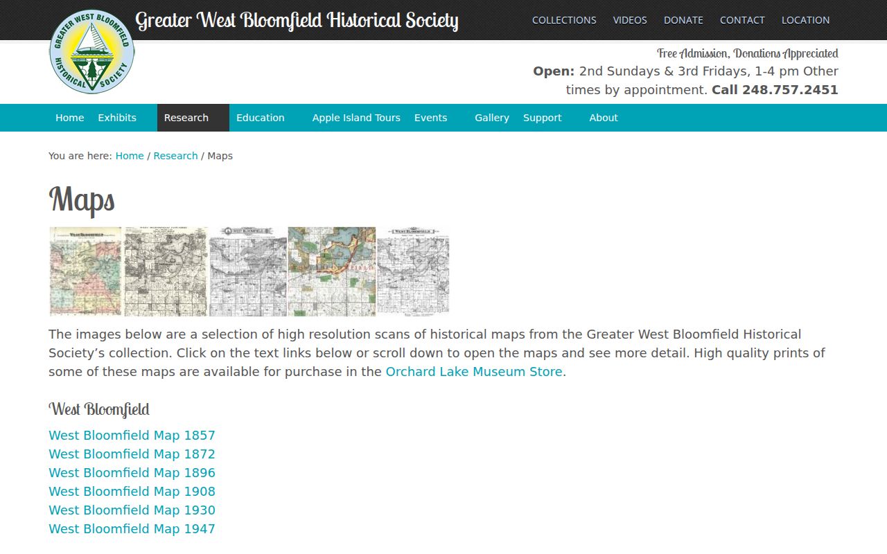
Compare the historic road, building, and landowner labels with a recorded plat and legal description before connecting them to a present parcel.
West Bloomfield Township Address Layers Compared
Comparison. A situs address is the physical parcel location. A mailing address is the tax correspondence destination and may be elsewhere. A legal description names the tract, lot, block, condominium unit, or metes-and-bounds boundary behind a deed. A PIN or Sidwell number is the parcel key used across the assessment, mapping, tax, permit, and deed systems. Past residents research is strongest when all four are preserved as separate fields instead of being collapsed into one address label.
The county Property Gateway recognizes a ten-digit PIN as a unique property identifier, while older township permit material may use Sidwell. If a parcel was divided, a road was renamed, or a subdivision was platted later, the legal description commonly provides a sturdier connection than the street number. The modern address can be a useful starting point, but it is not an adequate substitute for the historic land description.
Tracing West Bloomfield Township Deeds Backward
The recorded deed chain identifies former title holders, not every member of a past household. Begin with the current assessment record and use its PIN and legal description to locate the latest recorded instrument. In each document, the grantor is the party conveying an interest and the grantee is the party receiving it. Move backward by searching the earlier grantor as a grantee, then repeat. If a transfer involves a trust, estate, survivorship affidavit, mortgage discharge, foreclosure, or partial tract, read the legal description closely before assuming that the street address is unchanged.
- Get the situs, PIN or Sidwell number, owner name, and legal description from West Bloomfield Township Assessing or Property Gateway.
- Search the Oakland County Property and Land Records index for the latest deed or related recorded instrument.
- Record the document type, date, grantor, grantee, reception number or liber-page reference, and full legal description.
- Search the seller or grantor as a prior grantee and compare the same parcel description before adding another link.
- When the chain reaches the online cutoff, ask for tract-index, manual-index, counter, phone, mail, or Records Retention assistance.
- Grantor and grantee
- The grantor transfers an interest in a recorded instrument; the grantee receives that stated interest.
- Chain of title
- The dated sequence of recorded interests for a parcel. It is a title history, not a full household history.
- Legal description
- The lot, block, unit, or metes-and-bounds language that defines the land in a deed and can survive changes in street wording.
- Criss-cross directory
- A reverse listing organized by street and house number that can provide a dated lead for a prior household.
West Bloomfield Township’s 1964 Index Divide
Oakland County reports that Super Index copies go back to January 1, 1964. The Tract Index says computer coverage begins in that period, while older manual records and plats in the office or Records Retention reach into the 1800s. A missing modern result for a 1950s or earlier West Bloomfield Township property is therefore a routing issue, not evidence that the parcel lacked a prior history. Use a subdivision plat, lot and block, section, or metes-and-bounds wording to carry the search into the older system.
The county’s tract method is designed for platted subdivisions, condominiums, and metes-and-bounds descriptions. It also gives a practical fallback for a former street label. Keep the old spelling, reference, and record date. If the record reaches a parcel split, identify which part of the historic tract later became the current PIN before continuing the name chain.
Note: The online index and its older manual counterpart have different coverage, so a no-result response should always be labeled with the source searched.
West Bloomfield Township Past Resident Directories
Polk and Bresser street sections are the household layer of an address history. Polk may supply a surname section with household names and an alphabetical street section organized by house number. Bresser can list streets in the same reverse style and may include a telephone number, first-listed or relocation notation, and other publisher marks. Such entries are useful dated leads, but their scope varies by edition and the head of a household may be the only name listed. Preserve the spelling and the publisher’s abbreviation key rather than expanding an unclear mark.
The Library of Michigan city-directory guide names Polk, Bresser, Robinson’s, Norton’s, Johnson, W.C. Bailey, and Luedder series. Exact West Bloomfield Township runs were not located online. Search the ANSWER catalog with West Bloomfield, Oakland County, Bresser Oakland, Polk Pontiac, and nearby communities because suburban coverage may be filed under another place. The fuller collection and shelf routes are available through the West Bloomfield Township city directories page.
West Bloomfield Township Census Pairing
Pair a directory year just before or after a census year instead of expecting one source to list every person. Federal schedules are generally public through 1950 under the 72-year rule. A family may first appear under a rural route or nearest post office, then later under a street address after subdivision development. Save the source spelling, age, relationships, road, township or precinct language, and the map or plat context before matching it to a present parcel.
- Locate the most recent available reverse street entry and record its exact house number, name, date, and publisher marks.
- Check adjacent directory years for a continuity clue, then compare a census year on either side for household relationships and township context.
- Use the historic map and legal description to resolve a road, lake, route, or section description that does not match a current address.
- Use deed, probate, or obituary evidence to explain a departure, death, estate transfer, or later move without making a present-tense claim.
The Oakland County Genealogical Society free resources include its 1890 Census Substitute Project, which lists Oakland County residents found in 1884 to 1894 records.
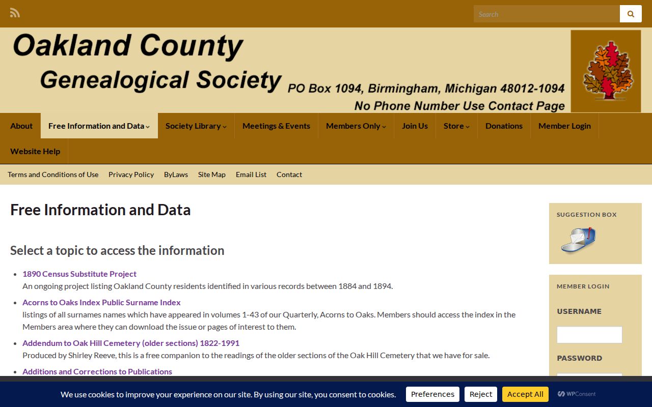
That substitute helps bridge the gap between the 1880 and 1900 federal census years when paired with a map, a directory, and a recorded land trail.
West Bloomfield Township Obituary Endpoints
When a name trail stops, an obituary or probate file can explain a transition. The Oakland History Center holds county directories, land and tax material, family histories, cemetery and marriage records, 1845 and 1860 census records, and special obituary aids including the May Rockwell Howlett and Faye Donelson collections. An obituary can supply a former place or family relationship, but it is an authored notice and should be cited by date and collection rather than treated as an official current address record.
Oakland Probate records can be searched by name through the county’s online services and Court Explorer for available material. Older matters may require a counter or mail inquiry. Preserve the case number, party spelling, document type, and date. A probate connection may indicate an estate relationship or a recorded transfer, not a complete picture of who lived at the property.
West Bloomfield Township Lake-Name Quirk
Quirk. West Bloomfield Township’s 26-lake geography makes lake names, beach associations, private roads, and neighboring owners important search terms. A historical notice may say Pine Lake, Cass Lake, Walnut Lake, Orchard Lake, Westacres, Twin Beach, or Pine Lake Manor where a deed uses a formal subdivision and lot description. A shoreline parcel can also look discontinuous on a modern map because a lake, common area, private road, or shared drive separates it from a nearby parcel.
Compare 1857 through 1947 maps, recorded plats, and current Property Gateway boundaries before calling an old road or lake reference a match. The research did not locate an authoritative township-wide renumbering year. That uncertainty is a reason to use the legal description and map sequence, not to guess that a new number means a new property.
West Bloomfield Township Previous Residents Limits
Previous residents research has firm limits. A deed identifies recorded parties, not a complete household. A directory entry may be incomplete, a census address may use historic geography, and a mailing address is not necessarily a physical residence. Michigan’s Address Confidentiality Program protects eligible participants through designated substitute addresses. Do not try to reverse a protected address, infer a reason for a record gap, or treat an unavailable result as proof that a person moved or used a false name.
Lawful personal use. Use West Bloomfield Township past-resident records for family history, house history, estate matters, or personal curiosity. Never use a historical address trail to locate, follow, contact, or harm a living person.
For current parcel evidence, use the official assessor, county map, and recorded deed chain. For an older household lead, state the source date and leave uncertainty visible rather than filling it with a guess.