
West Bloomfield Township Neighbors by Block
A block search should begin with the public record that matches the question. Oakland County's parcel map can show land geometry and the immediately adjacent tax parcels. The township assessment layer can identify the owner, mailing address, situs, legal description, and assessment details connected to an individual parcel. The recorded deed index traces instruments, while permit and code files can date a project at an address. These sources describe distinct relationships. They do not produce a confirmed list of all people who live on a block.
| Source | What It Shows About a Block | Access |
|---|---|---|
| Oakland County Property Gateway | Parcel shapes, PIN or address, map layers, and adjacent parcels reached by map click | Web map; reports or maps may involve a charge |
| West Bloomfield Assessing | Owner, mailing address, situs, legal description, values, sales, and building detail for a parcel | BS&A Assessing Search, assessor contact, or FOIA when applicable |
| Oakland County Register of Deeds | Recorded transfers, mortgages, liens, legal descriptions, and document chain for each parcel | Super Index from 1964, with older tract or manual records at the county |
| Building and code material | Publicly releasable project, inspection, notice, or compliance chronology tied to an address | Township department or focused FOIA request; no public code-case search located |
| Redacted voter-registration records | Only lawfully releasable registration fields for a defined request, not a street browser | Township, county, or state FOIA channel |
| Community and history sources | Public civic contacts, historic roads, landowners, buildings, and announcements | Association page, library, historical-society inquiry, or archive request |
Owners and occupants must remain separate labels. A tax-record owner can use an outside mailing address, and a person may be present at a parcel without appearing in its deed or assessment record. Record the source date and the relationship that the record actually states. Note: Parcel geometry is the strongest starting point for a block search, not a claim about every household relationship.
West Bloomfield Township Neighbor Parcels
The Oakland County Property Gateway accepts a PIN or property address, requires at least five characters, and permits partial-address and wildcard searching. It also lets a researcher browse the map and click a property to open its PIN or address. Those verified capabilities make it useful for adjacent-parcel work. The map can also provide parcel, aerial, floodplain, elevation, and zoning or planning context, but those layers explain land and boundaries rather than household membership.
The West Bloomfield Township BS&A Assessing Search is the next check. The township's assessment material identifies owner and parcel data, land values, lot size, acreage, legal descriptions, sales information, and building detail. Keep four fields distinct: situs is the physical parcel location, a mailing address is where tax correspondence goes, a PIN or Sidwell number is the parcel key, and the legal description fixes the lot or tract relationship.
- Adjacent parcel
- A tax parcel that touches or is identified next to another on a parcel map. It is a geographic relationship, not a social one.
- Situs address
- The physical address of the parcel, which can differ from the address used for tax correspondence.
- PIN or Sidwell number
- The parcel identifier that helps keep a map result, assessment record, permit file, and recorded instrument connected.
- Legal description
- The lot, block, subdivision, condominium, or metes-and-bounds wording used to distinguish land beyond its street address.
Mapping West Bloomfield Township Neighbors
Use a fixed parcel workflow for the immediate block. The property map does not have a documented radius or buffer control for this purpose, so use its verified address or PIN search, map browse, and click-adjacent method. Do not treat an across-the-road result, a shared common area, or a lake-edge parcel as an automatically equivalent neighbor. Confirm the selection by reading the PIN, situs, legal description, and source date on each record.
- Enter the target address or PIN in Property Gateway and open the matching parcel.
- Use the visible parcel boundaries and map labels to identify lots that touch or sit immediately around that parcel.
- Click each selected parcel, then record its PIN, situs, legal description, assessment year, owner field, mailing address, and source date.
- Check the same PIN in the township assessment layer to distinguish the current mapped parcel from the tax-record relationship.
- When a historical ownership question matters, use the PIN and legal description in the county deed or tract route, following each instrument backward as needed.
For a full named street rather than the immediate block, the West Bloomfield Township Streets directory follows the address chain in greater detail. A block note should remain smaller in scope: target parcel, adjacent parcel, map relationship, source date, and any documented uncertainty.
Lake Parcels for West Bloomfield Township Neighbors
Quirk. West Bloomfield Township's 26-lake setting makes simple map assumptions unreliable. Shoreline roads, private drives, shared access, condominium parcels, lakes, and common areas can interrupt what looks like a straight sequence of homes. A lot may touch a common parcel rather than another residential parcel, or a parcel across a road may sit in a different legal subdivision. The county map and the legal description should be read together before anyone is described as an adjacent owner.
The township's postal and municipal layers can create a second mismatch. West Bloomfield, West Bloomfield Township, Oakland County, and a postal-city label can all appear in historical or current sources, while ZIPs can cross municipal lines. Pine Lake, Cass Lake, Walnut Lake, Orchard Lake, Westacres, Twin Beach, and Pine Lake Manor are useful search terms because they may hold steady in an association notice or old map when an address format changes.
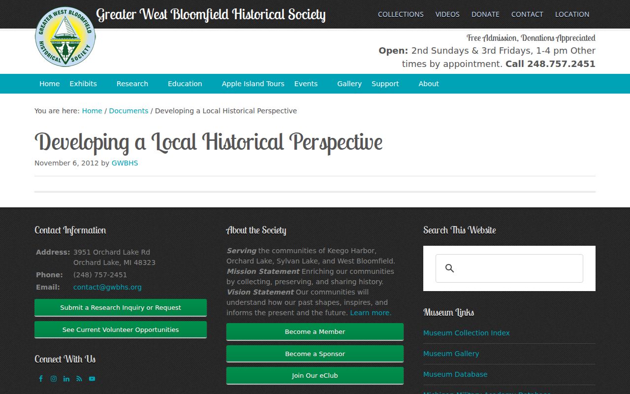
The Greater West Bloomfield Historical Society local-history guide describes maps, local manuscripts, and landowner-building map sets that help place a block in its historic geography.
Historical maps can identify a road, building, or landowner pattern, but a current parcel result still needs its own confirmation. Compare the historic name with a plat, deed, or current PIN rather than forcing an old map label into a modern address.
West Bloomfield Township Neighbor Timelines
A block history comes from dates attached to different record types. A recorded instrument supplies a date, document type, grantor, grantee, and legal description. Assessment information connects the parcel to its current tax identity. A publicly releasable permit or code file can identify an application, project, inspection, or closure date. Taken together, those sources can mark land transfers and physical changes without guessing that a listed applicant, contractor, or owner was an occupant.
The Oakland County Clerk/Register of Deeds property and land page explains that Super Index copies reach back to January 1, 1964. The Tract Index and older manual records are the fallback for earlier work. Begin with the current owner and PIN, read the latest deed's grantee, grantor, recording date, instrument number, and legal description, then search the prior grantor as a grantee to continue backward. A changed legal description or split tract needs more care than a repeated street number.
West Bloomfield Building Division material can supply address, subdivision, lot, Sidwell number, zoning, application, inspection, and project clues. When a file is not online, a narrowly described township FOIA request can be delivered through the township's documented channels. The request should identify the address or PIN, date range, record type, and department, and allow redactions rather than asking for an undefined block file.
Community Leads for West Bloomfield Neighbors
Community organizations can add a public contact route and neighborhood vocabulary, but they are not substitutes for parcel records. The research found no complete official township master list of homeowners associations. It did find Pine Lake Manor Civic Association, Twin Beach Park Association, the Greater West Bloomfield Historical Society, and library community resources. Public pages may identify an organization or a way to make an inquiry. They do not establish that a searchable member list is public.
| Organization | Geographic Clue | Public-Directory Status |
|---|---|---|
| Pine Lake Manor Civic Association | Pine Lake Road; the association describes 125 homes and nearly 200 neighbors | Public civic and community information; dues are voluntary; no public member directory found |
| Twin Beach Park Association | West Bloomfield postal connection, ZIP 48324 | Public contact page reported in research; member directory not located |
| Greater West Bloomfield Historical Society | West Bloomfield, Keego Harbor, Orchard Lake, and Sylvan Lake | Research inquiry, maps, and membership information; not a current resident roster |
| West Bloomfield Township Public Library | Library service area includes nearby local communities | Finding aids and community resources; no association member directory established |
The Pine Lake Manor Civic Association public page provides the community-information source shown below.
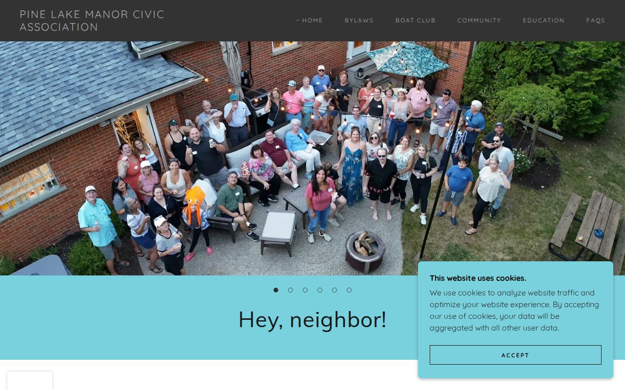
Use a public civic contact to ask about an event, history, or access policy. Do not copy or infer private membership, attendance, or household details from an association relationship.
West Bloomfield Township Neighbor-Tool Comparison
Comparison. An official map, assessment roll, or recorded instrument identifies a particular public-record relationship and gives the custodian to check when it changes. A commercial neighbor-result category compiles material from different dates and sources, so it can merge same-name people, old addresses, and owner-versus-occupant roles. The official trail is slower but lets a reader preserve a parcel number, document date, and legal description instead of accepting an unexplained profile.
| Official record path | Commercial neighbor-result category |
|---|---|
| Shows the source, parcel or document relationship, and a way to verify with the custodian. | May blend records with different dates, update schedules, and matching rules. |
| Separates owner, mailing recipient, permit applicant, voter record, or recorded party when the record does. | Can blur those roles into a single person-at-address claim. |
| Supports a focused correction request to the responsible office. | Requires its own privacy or correction channel and does not correct the underlying public record. |
Michigan's voter self-lookup is also not a block search. The Michigan Voter Information Center is a self-service route that requires first name, last name, birth month, birth year, and ZIP for its name search. A focused FOIA request may seek public, redacted registration data from the appropriate custodian, but protected-program information, signatures, phone numbers, email, license or ID numbers, and month or day of birth are excluded.
West Bloomfield Township Neighbor Registry Limits
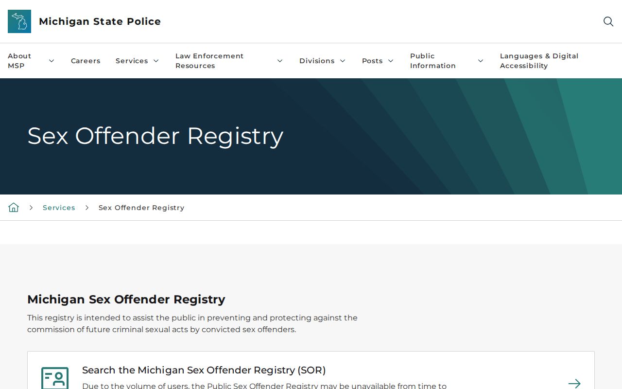
The Michigan State Police Public Sex Offender Registry is a narrow statutory registry, not a general neighbor directory. Its neighborhood-map option takes a street address, city, ZIP, and county and offers listed radius choices. The registry can show published registrant information and status fields, while victims' information is not released. It cannot establish a complete account of people on a block, and its exclusions include categories such as juveniles, deceased people, some removed or expunged records, and people whose registration ended.
The Michigan PSOR search information appears in the assigned source capture below.
Use the registry only for the limited purpose and information it publishes. It should not be combined with parcel or community material to draw unsupported conclusions about a household, a relationship, or a person's current circumstances.
West Bloomfield Township Neighbor Privacy
What stays private is as important as what a parcel map shows. Non-owner occupants, many household members, utility subscribers, delivery information, DMV address data, sealed court material, and private association membership are not ordinary block-directory sources. Michigan's Address Confidentiality Program protects eligible participants with a designated substitute address and mail forwarding. A missing or inconsistent address can reflect a lawful protection, a stale record, or a different record role. It should never be treated as evidence of wrongdoing or a false identity.
Lawful use. Use West Bloomfield Township neighbor information for personal, civic, family-history, or safety awareness purposes. Do not use an address, map, or public record to watch, contact, threaten, harass, or harm another person.
The Michigan Address Confidentiality Program explains eligibility and substitute-address protections. For a government-record error, ask the office that holds the record about its correction process and provide only the information necessary to identify the issue. Note: A public record can be inspected under its rules without becoming a complete or permanent account of a household.